
Expect a shift to winter-like conditions in the Cascades and Olympics this weekend, with snow levels dropping and potential thunderstorms.

SEATTLE — If you’re headed to the mountains this weekend, expect weather conditions to look more like December than May.
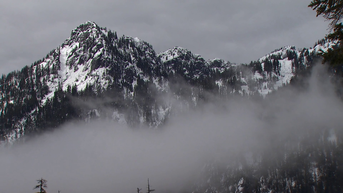
A Winter Weather Advisory is in effect for the Cascade and Olympic Mountains through Sunday at 8 a.m.
Snow levels are expected to drop to 3,000 to 3,500 feet this weekend, according to the KING 5 First Alert Weather Team. Snow showers are expected with between 4 and 6 inches of snow forecast above 4,000 feet. Higher snow totals are expected at higher elevations.
The highest chances for heavy snow showers will be Friday and Saturday afternoons, according to the National Weather Service. There could also be lighting and hail.
Significant snow accumulation isn’t expected on roadways, as surface temperatures are warm and are expected to limit how much the snow sticks. The weather service said temporary snow accumulation on the roadways could occur during heavy snow showers.
Recreationists are expected to see the biggest impacts from the storm and could experience snowfall or thunderstorms while hiking or biking. The weather service urged people to have a plan to find shelter if needed. Drivers should also plan for winter weather conditions.
The weather pattern shifts next week as the system moves through Saturday night, and high pressure begins to build Sunday. In the lowlands, a drier and warmer stretch is expected with temperatures in the upper 50s to mid-60s.

To ensure diverse coverage and expert insight across a wide range of topics, our publication features contributions from multiple staff writers with varied areas of expertise.