
If Seattle-Tacoma International Airport reaches 80 degrees, it would mark the first time since September.

SEATTLE — Unseasonably warm temperatures are expected to build across western Washington this weekend, with some areas flirting with record highs on Sunday.
Saturday will start with patchy morning clouds before clearing to mostly sunny skies, with highs in the mid-60s to mid-70s.
The real warmup arrives Sunday into Monday, when a strengthening ridge of high pressure over western Washington and British Columbia combines with developing thermal low pressure west of the Cascades.
That setup will promote offshore winds, and temperatures will push well above normal for early May.
Highs are expected to reach the 70s to low 80s both days, with the warmest readings likely in the south Sound. If Seattle-Tacoma International Airport reaches 80 degrees, it would mark the first time since September.
Sunday’s record high of 77 degrees at Sea-Tac could be in jeopardy, while Monday’s record of 85 degrees appears less likely to be broken.
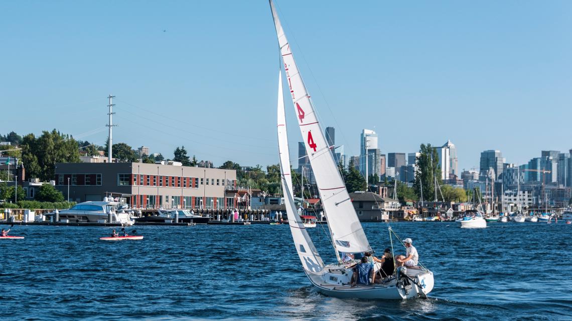
The Pacific Northwest’s opening day of boating season is Saturday. Water temperatures will remain in the 40s and 50s, which is within the range of risk for dangerous cold-water shock.
Conditions will remain dry into next week, though temperatures are expected to cool slightly into the mid-60s to low 70s as onshore flow returns.
The month of May will bring 60 to 70 minutes of added daylight, with the Seattle area gaining about 20 minutes in sunsets every two weeks.
In general, May is a drier month, with Seattle averaging historically just under two inches of rain.

To ensure diverse coverage and expert insight across a wide range of topics, our publication features contributions from multiple staff writers with varied areas of expertise.