
Winter’s grip lingers in the mountains as a storm brings heavy snow to the Cascades, prompting warnings and advisories that could affect travel.

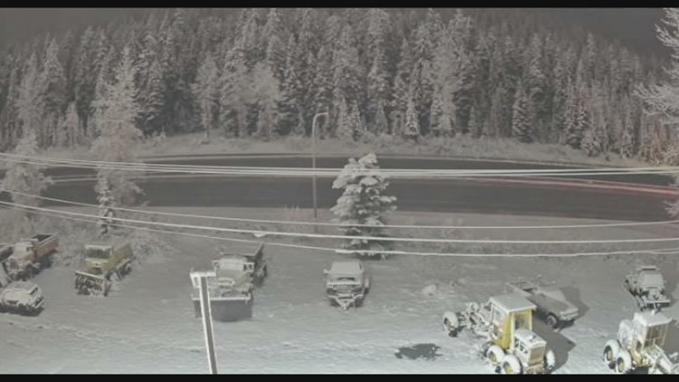
SEATTLE — It may be April, but winter is holding on in the mountains with heavy snow expected across the Cascades on Wednesday.
A Winter Storm Warning is in effect until Wednesday at 11 p.m. with 8 to 18 inches of snow possible from Whatcom to Lewis counties. Higher elevations, especially in the North Cascades, could see higher snow totals, according to the KING 5 First Alert Weather Team.
A Winter Weather Advisory is also in effect for the upper slopes of the eastern Cascades crest, including Roslyn and Easton. Between 4 and 8 inches of snow is expected above 2,500 feet of elevation with winds gusting up to 45 miles per hour.
Although the snowfall likely won’t make a big impact on Washington’s dismal snowpack, it is a bit of a reprieve for the mountains and a welcome sight for the ski resorts that are still open. Crystal Mountain Resort is open daily through April 19 with weekend operations April 25-26, and Mount Baker Ski Area will be open April 17-19 for its closing weekend. The Summit at Snoqualmie and Stevens Pass Ski Resort have both closed for the season.
The National Weather Service warns travel could be difficult during the storm. It urged travelers to carry an extra flashlight, food and water in their cars and prepare for possible power outages in the mountains.
Drivers can check chain requirements on the Washington State Department of Transportation’s website.
High pressure is expected to build in from offshore later Wednesday into Thursday, ending the showers Thursday morning with gradual clearing. This will bring drier conditions to western Washington with more sunshine Friday and Saturday.

To ensure diverse coverage and expert insight across a wide range of topics, our publication features contributions from multiple staff writers with varied areas of expertise.