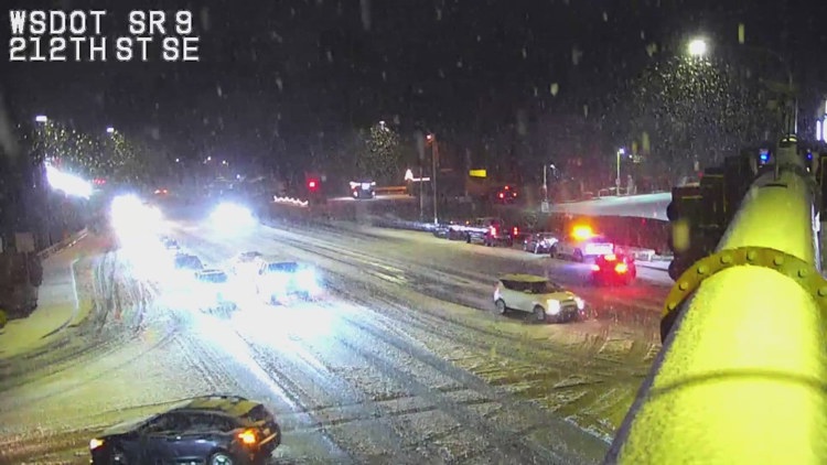

Scattered rain transitioned into snow showers early Wednesday evening as a heavier cell briefly lowered snow levels across parts of Snohomish County.

SEATTLE — Brief bursts of lowland snow are possible Wednesday evening and onward across parts of western Washington, mainly in Snohomish, King and Pierce counties.
Scattered rain transitioned into snow showers early Wednesday evening as a heavier cell briefly lowered snow levels across parts of Snohomish County.
Snow levels have hovered between about 500 and 1,000 feet this week and are expected to remain in that range through Friday, though heavier showers can temporarily drag the snow level lower.
Bothell, at roughly 300 feet in elevation, and Maltby, near 400 feet, have seen some of that snow as a weak convergence zone keeps showers lingering longer than a typical passing system.
Accumulations are expected to remain minimal, with roadways staying mostly above freezing. Any buildup will likely be limited to grassy and elevated surfaces, while roads see mainly slush rather than significant snow accumulation.
Early Wednesday, some snow was seen in parts of Marysville, Lake Stevens and other areas in that section of Snohomish County, but was spotty and inconsistent in coverage. The Granite Falls School District closed for the day.
Early Tuesday, light wet snow fell on the Olympic Peninsula, in Mason County and in isolated pockets near Kent, with trace snowfall reported at Sea-Tac. Most of it melted quickly as daytime temperatures stayed above freezing.
More snow is expected to fall in the mountains, but only a couple inches per day as the system moves through the region.
KING 5 Meteorologist Adam Claibon contributed the information for this report.

To ensure diverse coverage and expert insight across a wide range of topics, our publication features contributions from multiple staff writers with varied areas of expertise.